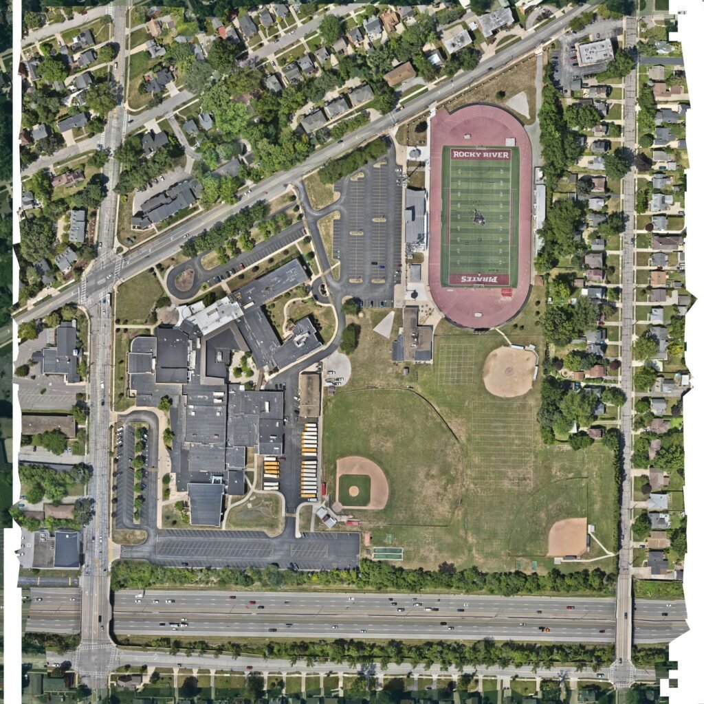
High-resolution mapping for construction sites, property documentation, infrastructure planning, and more. Our drones capture centimeter-level accuracy with RTK positioning for precise ground data.
Public Safety & Emergency Response Support
Trusted by local police and fire departments, we provide aerial overwatch, search-and-rescue visibility, and situational awareness for critical incidents and training exercises.
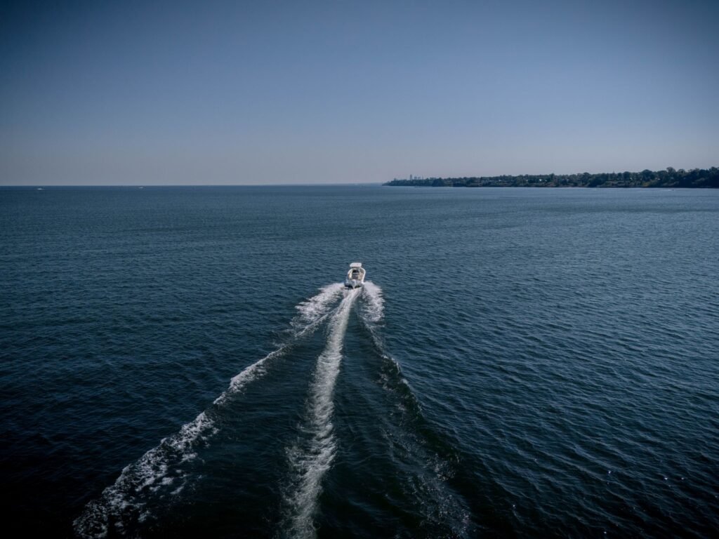
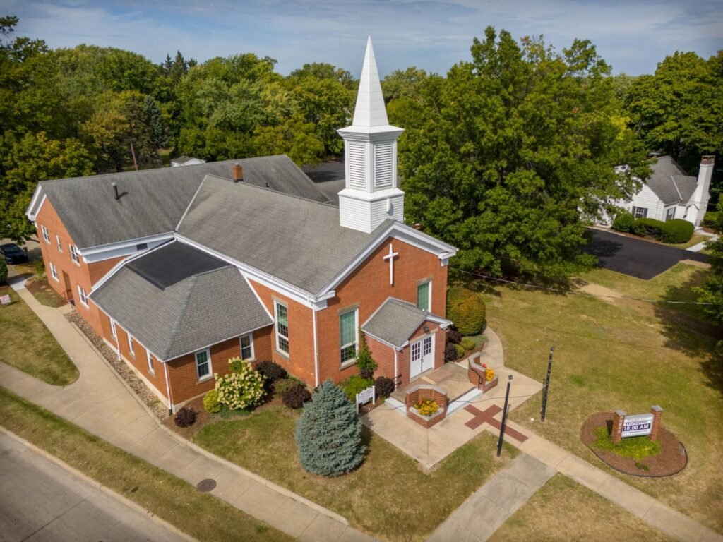
Aerial Photography & Videography
Cinematic imagery and video for real estate listings, marketing campaigns, and community events. We deliver stabilized, high-quality footage tailored to your needs.
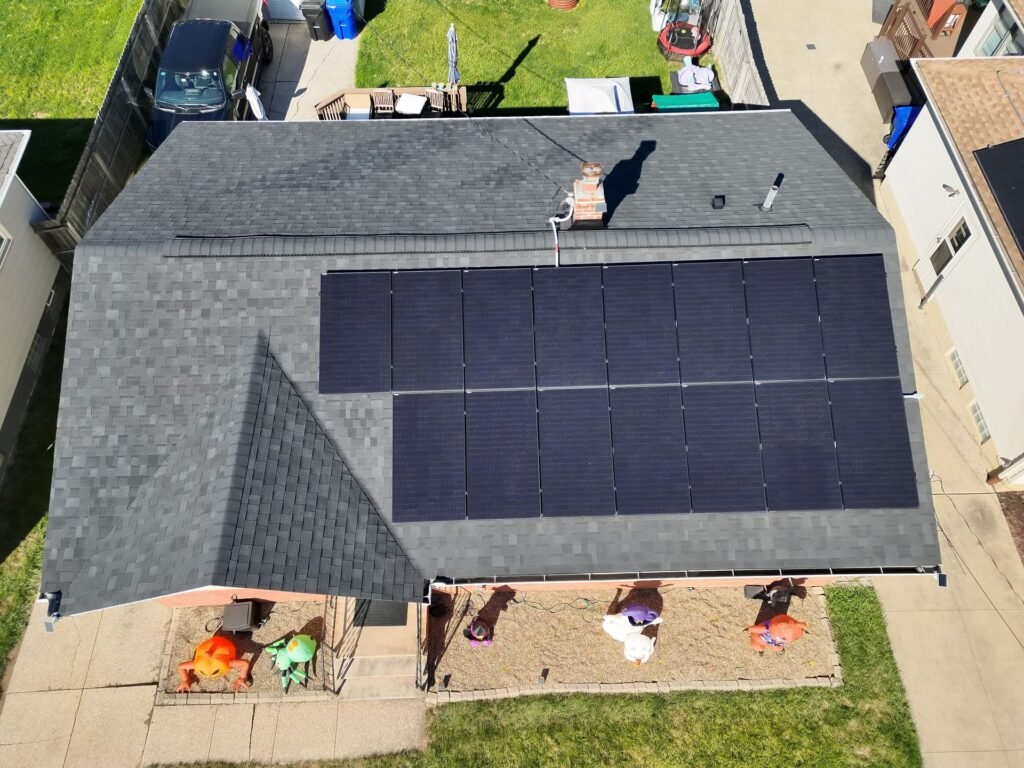
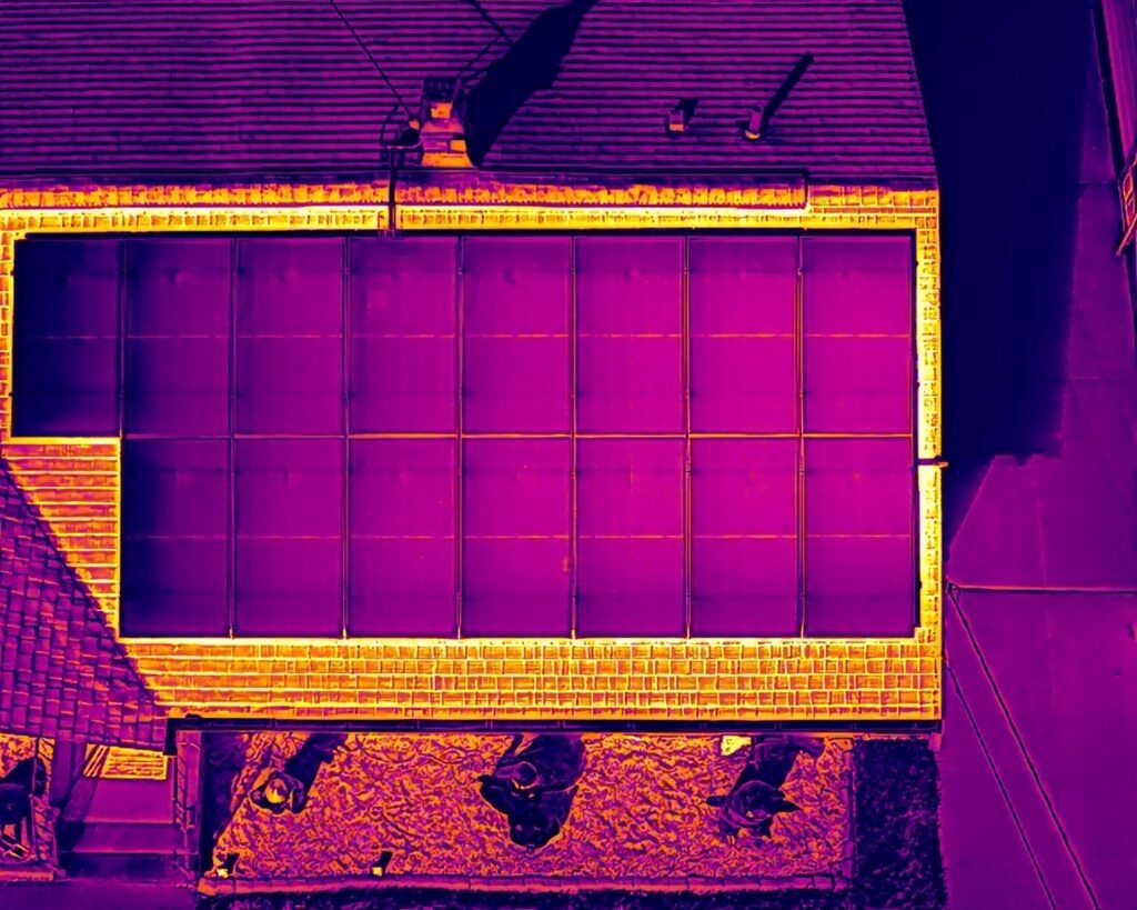
Roof, Tower & Infrastructure Inspections
Safe and efficient inspections of roofs, towers, solar panels, and hard-to-reach assets—reducing risk and saving time compared to manual climbs or lifts.
Thermal & Night Operations
Using advanced thermal imaging cameras, we conduct nighttime searches, heat mapping, and utility inspections with clear visual reporting.
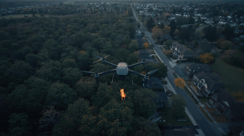
Pet Recovery & Search Support
When a pet goes missing, every minute matters. Using high-resolution thermal and optical drones, we scan large areas quickly—day or night—to help locate lost pets safely and efficiently, even in hard-to-reach terrain.
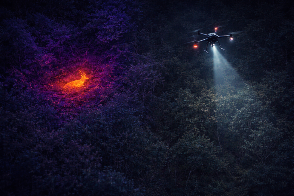
When a deer is wounded or goes down after dark, time is critical. Using advanced thermal drone technology, we conduct efficient aerial searches to help locate harvested or wounded deer quickly—reducing meat loss, minimizing suffering, and avoiding lengthy ground searches in difficult terrain.